Using camera trap locations generated with camtrapmonitoring
functions sample_ct() and grid_ct(), evalaute the distance between
features and camera trap locations to characterize and select locations,
and quantify potential sampling bias.
Arguments
- features
sf features (see
sf::st_sf())- target
sf feature target (see
sf::st_sf())- measure
measure type see
geodist::geodist()for details
Details
To avoid the large overhead of creating distance to rasters for small/medium
number of sample points, this function uses the vector-based distance
approach from distanceto::distance_to(). It determines the
nearest feature to each target then calculates the distance between
each pair.
See also
Other eval:
eval_buffer(),
eval_pt()
Examples
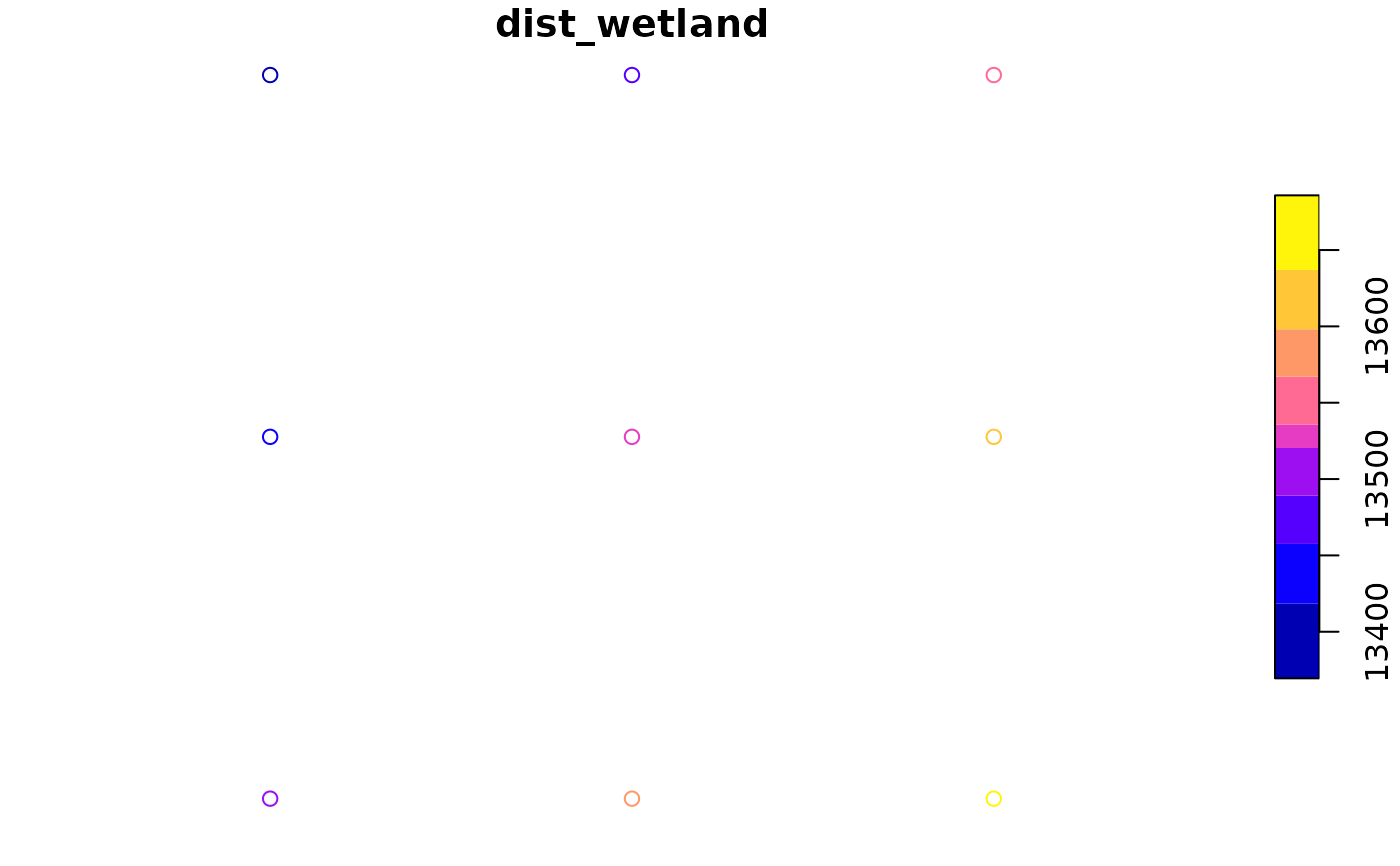
data("clearwater_lake_density")
data("clearwater_lake_wetlands")

# Sample points
pts <- sample_ct(region = clearwater_lake_density, 1, type = 'random')

# Make grid with queen's case
queen <- grid_ct(features = pts, case = 'queen', distance = 100)

# Evaluate each point with the land cover layer
queen$dist_wetland <- eval_dist(features = queen, target = clearwater_lake_wetlands)

# Plot
plot(queen["dist_wetland"])